İğneada Floodplain Forests: Flooded Woods on the Black Sea
On this page
- What is İğneada Floodplain Forests National Park?
- How do you get to İğneada Floodplain Forests National Park?
- When is the best time to visit İğneada Floodplain Forests National Park?
- What is the history of İğneada Floodplain Forests National Park?
- What is İğneada Floodplain Forests National Park famous for?
- What can you do at İğneada Floodplain Forests National Park?
- Frequently asked questions about İğneada Floodplain Forests National Park
- What do the official records say about İğneada Floodplain Forests National Park?
Key facts: İğneada Floodplain Forests National Park
- What it is: A national park protecting seasonally flooded longoz forest, five lakes and coastal dunes on the Black Sea.
- Where: Around İğneada, Demirköy district, Kırklareli, close to the Bulgarian border; about 97 km from Kırklareli city.
- Protected since: 13 November 2007; 3,155 hectares.
What is İğneada Floodplain Forests National Park?
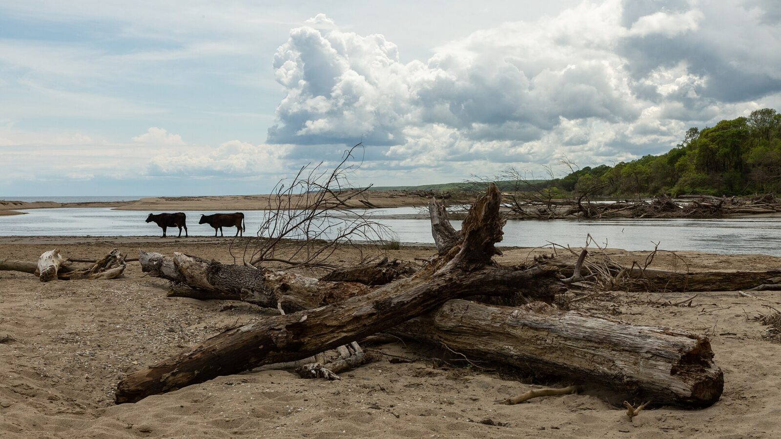
İğneada Floodplain Forests National Park (İğneada Longoz Ormanları Milli Parkı) protects a rare kind of woodland on the Black Sea coast of Kırklareli province. A longoz is a forest that floods every winter and spring as streams from the Istranca Mountains back up behind the coastal dunes. Ash, oak, alder, beech and maple grow with their roots in standing water, and climbing vines hang from the trees.
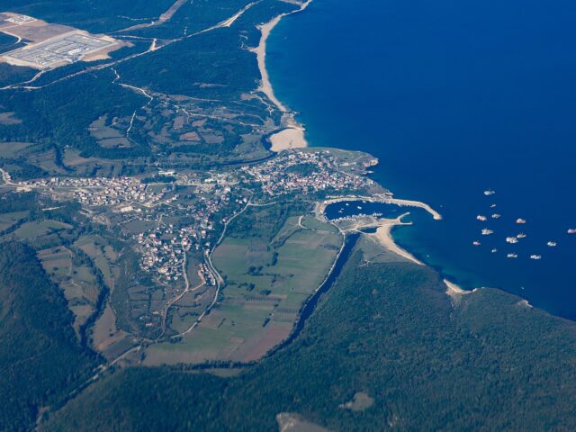
The park covers 3,155 hectares around the small resort town of İğneada, with the Istranca range to the south and west and the sea to the east. Besides the forest it contains five lakes, marsh and around 10 km of sand dunes with plant species found only on the southwestern Black Sea coast.
The park sits at the meeting point of three landscapes: the Istranca Mountains, whose streams feed the floodplain, the forest itself, and the open Black Sea. That mix explains the range of wildlife, from trout and grey mullet in the lakes to wolves and deer in the hills.
How do you get to İğneada Floodplain Forests National Park?
İğneada is about 97 km from Kırklareli city and 25 km from Demirköy. By car from Istanbul, take the motorway towards Saray and Vize, then continue through Poyralı and Demirköy to İğneada; the last section winds through the Istranca forest. Coaches from Istanbul run via Çorlu, Lüleburgaz and Pınarhisar to Demirköy and İğneada, but services are fewer outside summer.
The forest and lakes begin at the edge of town. Lake Saka lies in the south of the park, between the floodplain and the dunes. Dupnisa Cave is about an hour’s drive inland.
Tours in Anatolia
−5% Istambul readers save 5% on every tour below — applied at checkout.
Partner listings via GetYourGuide · free cancellation on most
When is the best time to visit İğneada Floodplain Forests National Park?
Each season shows a different side of the park. In spring the forest floor is under water and the birdlife is at its most active. Summer is beach season: the town fills with visitors from Istanbul, the forest paths dry out and the lakes are good for canoeing. Autumn, from late September to early November, brings the leaf colour and empty beaches. Winter is wet and quiet, with frequent fog.
What is the history of İğneada Floodplain Forests National Park?
İğneada was a small fishing and forestry village on the Black Sea, close to what became the Bulgarian border after the Balkan Wars. Its coast and forests remained largely undeveloped through the 20th century, which is why the floodplain survived.
The 2002 tourism inventory already listed İğneada among the province’s main beaches and its waters among the best places for diving. Five years later, on 13 November 2007, the floodplain forests, lakes and dunes were declared a national park, managed by the national parks authority (see İğneada Floodplain Forests National Park). The dunes are also protected under international agreements.
What is İğneada Floodplain Forests National Park famous for?
- The longoz forest itself: ash, oak and alder standing in water, draped with wild vines.
- Five lakes: Mert (266 ha, formed where the Çavuşdere stream meets the sea), Erikli (43 ha, a lagoon cut off from the sea in dry summers), Hamam (19 ha), Pedina (10 ha) and Saka (5 ha).
- Birds, including white-tailed eagles, black storks, grey herons, kingfishers, owls and hoopoes.
- Wildlife such as otters, wildcats, wild boar, deer, wolves, pine martens and Hermann’s tortoises.
- The beach: İğneada’s sand runs for about 10 km and is 40 to 50 m wide.
What can you do at İğneada Floodplain Forests National Park?
Walk the edge of the floodplain. In summer and autumn, when the water drops, the forest margins and the shores of Lake Mert are the easiest places to see the longoz up close. In spring much of the forest floor is under water.
Follow the Çavuşdere to the sea. Lake Mert formed where this stream reaches the coast, and the dunes and lagoon at its mouth show how the sea and the forest meet.
Watch birds. Spring and autumn are best, when migrating birds pass along the Black Sea coast. Herons and kingfishers are easiest to spot around the lakes; white-tailed eagles and black storks need patience and binoculars.
Visit Lake Saka. The smallest and most secluded of the lakes sits between the forest and the dunes south of town.
Swim and dive. The inventory lists İğneada and nearby Limanköy as diving areas. Beğendik, towards the Bulgarian border, has another beach listed by the provincial culture directorate.
Combine it with the Istranca. Dupnisa Cave and the Dereköy forests, which the 2002 inventory recommends for birdwatching, cycling and horse trekking, are within reach for a day inland.



Frequently asked questions about İğneada Floodplain Forests National Park
What is a longoz forest?
A forest that floods each winter and spring when mountain streams are dammed behind coastal dunes. Trees such as ash, alder and oak grow with their roots in standing water.
When did İğneada become a national park?
On 13 November 2007. The park covers 3,155 hectares of forest, lakes, marsh and dunes.
How do you get to İğneada?
By car via Saray, Vize, Poyralı and Demirköy, or by coach from Istanbul via Lüleburgaz and Demirköy. It is about 97 km from Kırklareli city.
Can you swim at İğneada?
Yes. İğneada has a sandy beach about 10 km long next to the park, busiest in July and August.
Which lakes are in the park?
Mert, Erikli, Hamam, Pedina and Saka. Mert is the largest at 266 hectares; Saka is the smallest and most secluded.
What do the official records say about İğneada Floodplain Forests National Park?
Kırklareli has a natural sandy beach of about 50 km. The most important beaches are Kıyıköy, İğneada and Kastros.
For underwater diving the inventory names İğneada, Limanköy, Kıyıköy and Kasatura Harbour; for birdwatching and photo safaris, the Dereköy forests; and for camping and caravanning, Babaeski, Demirköy and Vize. (Ministry of Culture and Tourism, Kırklareli Provincial Tourism Inventory, 2002)
Main photo: Linda M Caldwell, CC BY-SA 4.0, via Wikimedia Commons.
Ready to see İğneada Floodplain Forests?
Hand-picked tours with good reviews and clear prices.
Partner listings via GetYourGuide · free cancellation on most
Before or after: Istanbul
Most trips start or end in Istanbul. Our own experiences there:
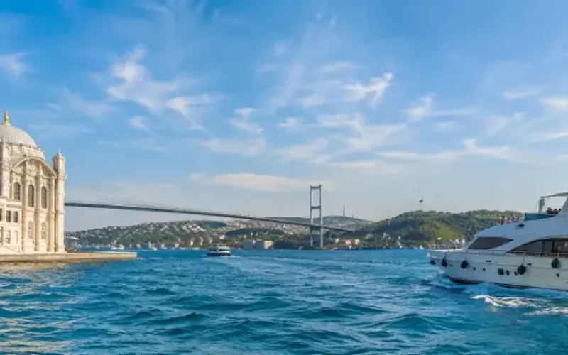
 Dinner, sunset and day cruises between Europe and Asia.See cruises bosporuscruise.com

 Historic Turkish baths in the old city — hand-picked hamams, booked direct.Book a hamam istanbulhamam.com
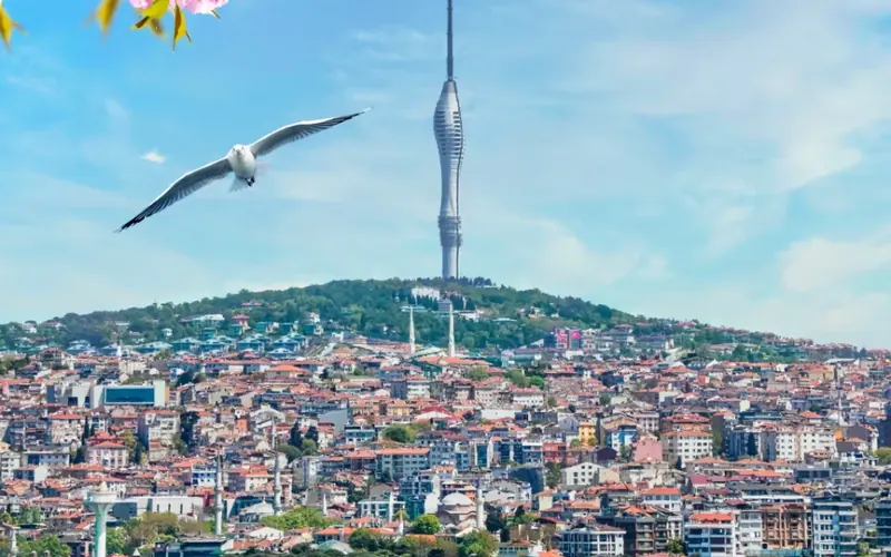
 Istanbul’s tallest viewpoint: both continents from 369 metres.Get tickets camlicatower.com
 Free audio guides in 15 languages, safe routes and local tips — plus 5% off GetYourGuide.Open the free guide localada.com
Nearby
All destinationsVize Hagia Sophia
Vize Hagia Sophia, the Little Hagia Sophia: a 6th-century Byzantine…
Kıyıköy
Kıyıköy on the Black Sea: Byzantine walls, the rock-cut St…
Dupnisa Cave
Dupnisa Cave in the Istranca Mountains: two open caves, an…
Kırklareli
Kırklareli travel guide: Dupnisa Cave, İğneada floodplain forests, Kıyıköy, Vize…