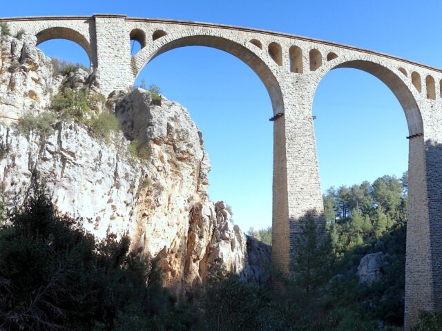
Iğdır: The Plain beneath Mount Ararat
On this page
- What is Iğdır?
- How do you get to Iğdır?
- Where should you stay in Iğdır?
- What type of climate does Iğdır have?
- When is the best time to visit Iğdır?
- What is the history of Iğdır?
- What is Iğdır famous for?
- What are the historical places of Iğdır?
- What are the best things to do in Iğdır?
- What are the best places to visit in Iğdır?
- What should you buy in Iğdır?
- Frequently asked questions about Iğdır
- What do the official records say about Iğdır?
Key facts: Iğdır
- Region: Eastern Anatolia; the only Turkish province bordering three countries: Armenia, Azerbaijan (the Nakhchivan exclave) and Iran.
- Mount Ararat: The northern slopes of Türkiye’s highest mountain rise from the Iğdır plain; Ağrı Dağı National Park was declared in 2004. See our Mount Ararat guide.
- Best known for: A mild microclimate that earns it the name “Çukurova of the East”, apricots with protected origin status, salt caves and Seljuk and Kara Koyunlu monuments.
What is Iğdır?
Iğdır is a small province in the far east of Türkiye, and also the name of its capital, a market town on a low, fertile plain along the Aras River. On the far bank of the river is Armenia, to the east the Nakhchivan exclave of Azerbaijan, and to the south, beyond the great cone of Mount Ararat, Iran.
At around 870 m, the plain is far lower and warmer than the plateaus of Kars and Erzurum around it. Cotton and apricots grow here, and the inventory notes that the province is known as the Çukurova of Eastern Anatolia, after the fertile plain of southern Türkiye. Ararat dominates every view: on a clear day its snowcap hangs over the town.
Iğdır is not a place of big sights, but it rewards travellers on the eastern circuit between Kars and Doğubayazıt: the Seljuk Ejder Caravanserai on the Ararat foothills, the Tuzluca Salt Caves in their mountain of salt, the Aras Bird Paradise on the Aras wetlands, and old cemeteries of ram-shaped gravestones.
Places to visit in Iğdır
Ejder Caravanserai
Ejder (Harmandöven) Caravanserai near Iğdır: a Seljuk caravan hall on the Batumi–Tabriz…
Tuzluca Salt Caves
Tuzluca Salt Caves in Iğdır: historic rock-salt mine galleries at a constant…
Aras Bird Paradise
Aras Bird Paradise in Iğdır: a wetland on the Aras River where…
How do you get to Iğdır?
By air: Iğdır Şehit Bülent Aydın Airport (IGD), opened in 2012, is about 16 km west of the town. Turkish Airlines flies from Istanbul Airport, AJet and Pegasus from Sabiha Gökçen, and AJet from Ankara.
By road: Iğdır is about 140 km from Kars, roughly two hours by road through Tuzluca, and about 145 km from the town of Ağrı. Doğubayazıt and İshak Paşa Palace lie to the south across the Ararat foothills. Coaches run to Iğdır from Erzurum, Van and other large cities.
Border crossing: The Dilucu border gate leads into Nakhchivan (Azerbaijan). The border with Armenia along the Aras is closed.
Where should you stay in Iğdır?
Stay in Iğdır town, which has a range of mid-sized hotels close to the centre and the main road. It is a convenient overnight stop between Kars and Doğubayazıt, and a base for day trips to the caravanserai, Tuzluca and the Aras wetlands. Travellers heading to climb Ararat usually base themselves in Doğubayazıt, on the southern side.
Book a Iğdır tour
−5% Istambul readers save 5% on every tour below — applied at checkout.
Partner listings via GetYourGuide · free cancellation on most
What type of climate does Iğdır have?
Iğdır has the warmest climate in this part of Türkiye. Winters are milder than in the surrounding highlands, and summers are hot and dry, with July afternoons regularly in the 30s°C. Annual rainfall is low, around 250–300 mm, so the plain depends on irrigation. The inventory describes a province that lets you live four seasons in one day: summer heat on the plain, snow on Ararat’s summit above it.
When is the best time to visit Iğdır?
April to June and September to October are the most comfortable months. Late June to mid-July is apricot harvest, when the orchards and markets are full. Spring and autumn are the migration seasons on the Aras, the best time for birdwatchers. High summer is hot on the plain, which is when the cool salt caves at Tuzluca are at their busiest. In winter the plain is rarely snowbound for long, but Ararat and the passes to Kars and Doğubayazıt can be, so allow extra time on the roads.
What is the history of Iğdır?
The inventory explains that archaeological and prehistoric research has shown that settlement in the region is as old as human history and that the area has been home to many civilisations. Black obsidian tools and flint tools found on the Iğdır plain show that the region also lived through the Mesolithic period.
The first settled people of the region, according to the inventory, were the Hurrians, who are believed to have lived here and in the Sürmeli basin around 5000–4000 BC. Later the area was part of the kingdom of Urartu: at Kültepe, near the town of Melekli, excavations in 1913 uncovered an Urartian cemetery where the dead had been cremated and their ashes buried in vessels, together with ornaments, weapons and seals.
In the Middle Ages the plain lay on the caravan route from Batumi to Tabriz. The Ejder Caravanserai on the foothills of Ararat dates from the Seljuk period, and the ram-shaped gravestones found in almost every cemetery of the plain belong to the time of the Kara Koyunlu, the Turkmen dynasty of the 15th century. After long rivalry between the Ottomans and Persia, the region became part of the Persian khanate of Erivan. The Treaty of Turkmenchay of 1828 placed it under Russian rule, and Iğdır became the centre of the Russian district of Surmalu.
After the First World War and a period under the Republic of Armenia, the area was taken by Turkish forces in 1920 and confirmed as Turkish by the Treaty of Kars in 1921. It was a district of Kars until 1992, when it became a province.
What is Iğdır famous for?
Mount Ararat. The inventory notes that the Flood of Noah, the subject of the Torah, the Gospels and the Qur’an and told in Sumerian and Babylonian tradition in the Epic of Gilgamesh, gives Ararat a special importance for faith tourism. Jewish and Christian tradition holds that Noah’s Ark came to rest on the mountain, and the inventory records the local claim that the Garden of Eden (the gardens of İrem) lay on the plain at its northern foot.
A volcano with glaciers. The inventory describes Ararat as Türkiye’s highest mountain and an old volcano, forming the border between Iran and Iğdır and covering an area of 1,188 km². In terms of its glaciers and their forms, it calls Ararat the most important and most studied area of Türkiye: the upper mountain is covered by a thick ice cap. Although rich in glaciers, Greater Ararat has neither glacial nor volcanic lakes, except a small lake called Küp Gölü at 3,600 m on the northwest face. Modern surveys put the summit at 5,137 m; the first recorded ascent was made in 1829 by Friedrich Parrot and Khachatur Abovian, and the mountain has been protected as Ağrı Dağı National Park since 2004.
Apricots. The Iğdır apricot, mainly of the Şalak variety, was registered as a protected designation of origin in 2018; the harvest runs from late June to mid-July.
Salt. Salt has been mined at Tuzluca since at least medieval times, and the old galleries are now visited as caves and used for salt therapy.
Birds. The Aras River wetlands are one of Türkiye’s richest bird sites, with more than 300 species recorded in the province.
What are the historical places of Iğdır?
Ejder Caravanserai (Harmandöven). A Seljuk caravanserai on the old Silk Road route from Batumi to Tabriz. See our Ejder Caravanserai guide.
Karakale. The inventory describes it as the oldest castle in the region, on the western edge of the Iğdır plain at the Turkey–Armenia border, with the character of a medieval settlement. It overlooks the Aras plain near Çalpala village.
Ram-headed gravestones (Koçbaşı mezarları). Found in almost all the cemeteries of the Iğdır plain and dating from the Kara Koyunlu period, they were, according to the sources, set on the graves of brave and heroic people and of those who died young. Carved from black basalt, many carry motifs of the tree of life, weapons and looms. Many have been gathered in the open-air museum in Karakoyunlu, about 15 km from Iğdır; others stand in the cemeteries of Yaycı, Küllük and Hakmehmet villages.
Kümbet at Çakırtaş. The inventory records a domed tomb (kümbet) built by the Seljuks in Çakırtaş village, noting that neglect had badly damaged parts of it.
Kültepe. Near Melekli, the site of the Urartian cremation cemetery excavated in 1913.
Ahura and the Iğdır kurgan. On the northwestern skirts of Ararat, the inventory describes a fortification built to control the old caravan roads. In this area, with the remains of two castles, caravans coming via Sürmeli (Karakale) passed through and used the Serdarbulak pass between Greater and Lesser Ararat. The Ahura valley, on the mountain’s northern slope, is also where the village of Akhuri was destroyed by a landslide in 1840.
What are the best things to do in Iğdır?
- Watch Ararat change colour at sunrise and sunset from the plain.
- Visit the salt caves at Tuzluca, a steady 12°C even in the summer heat.
- See bird ringing on the Aras in the spring or autumn migration.
- Walk among the ram-headed gravestones at Karakoyunlu.
- Explore the Ararat foothills. The inventory calls the mountain ideal for trekking, mountain biking, riding, camping and paragliding, with rich wildlife on its upper and northern slopes; the Korgan and Atıcıdüzü areas on the northern slopes hold snow into April.
- Eat apricots in season, straight from the orchards in late June and July.
- Celebrate Nevruz, which the inventory lists as the province’s main local festival, held on 19–21 March.
What are the best places to visit in Iğdır?
Ejder Caravanserai is a Seljuk caravan hall on the Ararat foothills, with a carved portal once inlaid with mirrors.
Tuzluca Salt Caves are old salt-mine galleries inside a mountain of salt on the Armenian border, now visited for their cool air and salt therapy.
Aras Bird Paradise is the wetland on the Aras River where researchers have ringed some 200,000 birds since 2006.
Also worth your time: Karakale, the ram-headed gravestones at Karakoyunlu and the Ahura valley. Mount Ararat, İshak Paşa Palace and the Meteor Crater are covered on our Ağrı pages, and Kars with Ani is about two hours northwest.
What should you buy in Iğdır?
Apricots. Fresh Şalak apricots in early summer, and dried apricots the rest of the year. The protected designation covers Iğdır province and the neighbouring Kağızman district of Kars.
Rock salt. Blocks and lamps of rock salt from Tuzluca are sold near the caves.



Frequently asked questions about Iğdır
Is Iğdır worth visiting?
Yes, as a stop between Kars and Doğubayazıt: it has the closest views of Ararat’s north face, a Seljuk caravanserai, salt caves and one of Türkiye’s best bird sites.
What is the nearest airport to Iğdır?
Iğdır Şehit Bülent Aydın Airport (IGD), about 16 km west of the town, with flights from Istanbul and Ankara.
Which countries border Iğdır?
Armenia, Azerbaijan (Nakhchivan) and Iran. It is the only Turkish province with three international borders.
Can you climb Mount Ararat from Iğdır?
The usual climbing route starts from the southern side near Doğubayazıt in Ağrı province, and climbers need a permit arranged through a licensed agency.
Why is Iğdır called the Çukurova of the East?
Its plain lies around 870 m, much lower and warmer than the surrounding plateaus, so cotton and apricots grow there.
When is apricot season in Iğdır?
The harvest of the Iğdır apricot runs from late June to mid-July.
What do the official records say about Iğdır?
With its own particular features in the region, the province is known as the Çukurova of Eastern Anatolia. With its history, culture, folklore, natural beauty and climate, it lets you live the four seasons in a single day, and it borders three countries.
Mount Ararat has a special place in Turkish and world history. Many legends about Mount Ararat have grown up both in our country and in the culture of the Near East. According to Jewish scripture and Christian belief, Noah’s Ark is believed to lie on the northern slopes of Mount Ararat. For this reason Mount Ararat holds a very important place both politically and for faith tourism. (Ministry of Culture and Tourism, Iğdır Provincial Tourism Inventory, 2002)
Ready to see Iğdır?
Hand-picked tours with good reviews and clear prices.
Partner listings via GetYourGuide · free cancellation on most
Before or after: Istanbul
Most trips start or end in Istanbul. Our own experiences there:
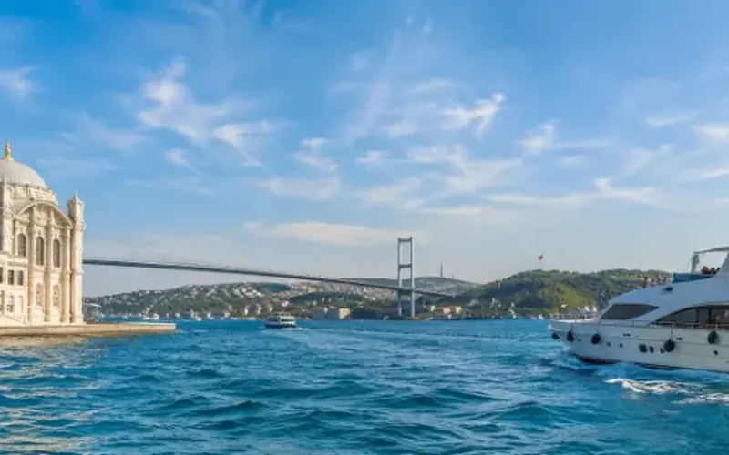
 Dinner, sunset and day cruises between Europe and Asia.See cruises bosporuscruise.com
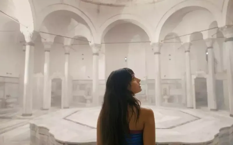
 Historic Turkish baths in the old city — hand-picked hamams, booked direct.Book a hamam istanbulhamam.com
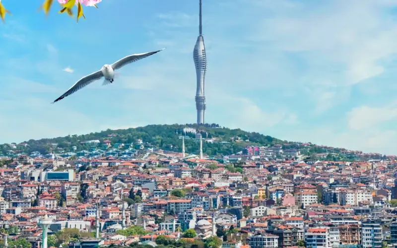
 Istanbul’s tallest viewpoint: both continents from 369 metres.Get tickets camlicatower.com
 Free audio guides in 15 languages, safe routes and local tips — plus 5% off GetYourGuide.Open the free guide localada.com