Hakkari: Glaciers and High Peaks of the Cilo-Sat Range
On this page
- What is Hakkari?
- How do you get to Hakkari?
- Where should you stay in Hakkari?
- What type of climate does Hakkari have?
- When is the best time to visit Hakkari?
- What is the history of Hakkari?
- What is Hakkari famous for?
- What are the historical places of Hakkari?
- What are the best things to do in Hakkari?
- What are the best places to visit in Hakkari?
- What should you buy in Hakkari?
- Frequently asked questions about Hakkari
- What do the official records say about Hakkari?
Key facts: Hakkari
- Region: The far southeastern corner of Türkiye, bordering Iran and Iraq, with Van to the north and Şırnak to the west.
- Best known for: The Cilo and Sat mountains, whose summit Reşko (Uludoruk) at 4,135 m is the second-highest peak in Türkiye, their glaciers and lakes, the Zap gorge and the Ottoman-era Meydan Madrasa.
- Travel note: UK travel advice says visitors need permission from the local Governor’s Office to visit areas near the borders with Iraq and Iran (FCDO).
What is Hakkari?
Hakkari is Türkiye’s most mountainous province. Official figures put almost 88 per cent of its land in mountains, and its southern ranges, Cilo and Sat, carry the largest glaciers in the country. The capital, also called Hakkari and historically known as Çölemerik, sits on a steep slope above the Zap River, surrounded by peaks on every side.
The province has five districts: the central district, Yüksekova on its high plain to the east, Şemdinli and Çukurca near the Iraqi border, and Derecik. Yüksekova is the largest town and has the province’s airport.
For travellers, Hakkari is above all a mountain destination: climbing and trekking in the Cilo-Sat Mountains, rafting in the Zap Valley, skiing at Mergabüt above the city and walking on summer pastures such as Berçelan. In town, the Meydan Madrasa is the main historic building.
Places to visit in Hakkari
Cilo-Sat Mountains
Cilo-Sat Mountains in Hakkari: Reşko (4,135 m), Türkiye’s largest glaciers, the Cilo-Sat…
Meydan Madrasa
Meydan Madrasa in Hakkari: the two-storey college of 1700–1701 with courtyard arcades…
Zap Valley
Zap Valley in Hakkari: the gorge of the Great Zab, a 189…
How do you get to Hakkari?
By air: Hakkari–Yüksekova Selahaddin Eyyubi Airport opened in May 2015, about 5 km from Yüksekova. Turkish Airlines flies from Istanbul and AJet from Ankara, on certain days of the week only. Minibuses run from Yüksekova to Hakkari city between 07:00 and 18:00; the 78 km trip takes about 50 minutes.
Via Van: Many travellers fly into Van Ferit Melen Airport, which has more frequent flights, and continue by road. Minibuses and buses leave Van for Hakkari between 06:00 and 19:00; the 210 km journey takes about three hours. The road passes Güzelsu (Hoşap) at about km 60, climbs a steep mountain section with 32 bends, reaches Başkale at about km 90, then descends the Zap valley.
From Şırnak: The road from Şırnak is 190 km and takes four to five hours through rugged country; buses leave in the morning.
Border crossings: Esendere on the Iranian border and Üzümlü on the Iraqi border are in the province.
Permits and checkpoints: UK government advice states that you must get permission from the local Governor’s Office to visit areas near the borders with Iraq and Iran; this applies to much of the high mountain country. Expect gendarmerie and police checkpoints on the main roads, carry your passport, and do not photograph military sites. Check current conditions with the Hakkari Governorship before heading into the mountains.
Where should you stay in Hakkari?
Hakkari city has a small choice of hotels, including an international chain hotel, and is the base for Mergabüt, Berçelan and the Zap valley. Yüksekova, near the airport, has its own hotels and is closer to Sat Mountain and the eastern approach to the Cilo-Sat lakes. In the mountains, climbers and trekkers camp, and logistics are best organised with a local guide.
Tours in Anatolia
−5% Istambul readers save 5% on every tour below — applied at checkout.
Partner listings via GetYourGuide · free cancellation on most
What type of climate does Hakkari have?
Hakkari has long, snowy winters and short, warm summers. At the Mergabüt ski centre above the city, snow can reach about four metres deep, and skiing is possible for at least six months a year. In the valleys, summer days are warm and dry; on the high pastures and around the Cilo-Sat lakes, between about 2,500 and 3,300 m, nights are cold even in July and snow patches remain through the summer. The inventory notes that the province is known for its cold waters and its flowers, including the crown imperial (ters lale), asmin, narcissus, hyacinth and beybün.
When is the best time to visit Hakkari?
July to September is the climbing and trekking season in the Cilo and Sat mountains, when routes to the lakes and glaciers are clear of deep snow. Late May and June are the time for wild flowers on the lower slopes and for rafting on the Zap, when snowmelt swells the river. Winter, from December, belongs to the ski centre at Mergabüt, about 12 km from the city.
What is the history of Hakkari?
The 2002 inventory explains that Hakkari, lying in the triangle between Anatolia, Mesopotamia and Iran, attracted many communities because of its position and geography and became home to many peoples. After the Persians ended the rule of the Medes in 550 BC, the Hakkari region came under Persian control and was taken into the satrapy (province) system. It then came under the Seleucid kingdom, the Parthians who founded a kingdom in Iran, the Sasanians and finally the Muslim Arabs.
Much earlier, the area was part of the Urartian world. The inventory suggests that the Hırvata (Büyük Çiftlik) remains west of Yüksekova, at the mouth of the Aroş stream, may be the site of Musasir, the holy city of the Urartian god Haldi, which the Assyrian king Sargon II captured in 714 BC. It notes that no excavation has been carried out there, so the identification is unconfirmed.
The name Hakkari first appears in Arabic sources. The inventory notes that the Arab historian Ibn Hawqal, after the Hakkar tribe, called the region south of Lake Van “Hakkariye”, the land of the Hakkar. Hakkari came under Ottoman rule in 1536, in the reign of Süleyman the Magnificent, but for centuries it was governed locally as the Emirate of Hakkari, whose beys built the madrasas and fortresses of Çölemerik.
Until the First World War the mountains were also home to Assyrian Christian communities of the Church of the East; the stone churches the inventory lists at Halil and Derav, which it calls Nestorian, belong to that tradition. These communities left the region during and after the war. Hakkari became a province of the Turkish Republic and was administered under a regional state of emergency from 1987 to 2002.
What is Hakkari famous for?
High mountains. Reşko (Uludoruk), at 4,135 m, is the highest summit of the Cilo range and the second-highest peak in Türkiye after Ağrı Dağı (Mount Ararat). The Cilo range has more than 20 peaks above 3,000 m.
Glaciers and lakes. The İzbırak glacier on the Yüksekova side is described by the provincial directorate as Türkiye’s largest valley glacier, and dozens of glacial lakes lie above 2,500 m.
Yaylas and flowers. The inventory notes that Hakkari is famous for its pastures, such as Berçelan, Mırgabit (Mergabüt) and Üleberan, its cold waters, and its crown imperials and other mountain flowers.
Carpets and kilims. Hakkari carpets carry motifs that tell stories passed down by word of mouth.
What are the historical places of Hakkari?
Meydan Madrasa. In the city centre, built in 1700–1701 according to its inscription and repaired in 1984. See our Meydan Madrasa guide.
Zeynel Bey Madrasa. The inventory describes it as lying among gardens beside a stream in the Gülerek quarter of the city, now largely ruined. It was built by Zeynel Bey, one of the beys of Hakkari, who held office between 1560 and 1578 and was favoured by Süleyman the Magnificent and Selim II. Killed in a battle with the Persians at Marand in 1585, he was brought back to Çölemerik in 1587 and buried in the courtyard of his own madrasa.
Çay Castle. On a steep, rocky hill 2,025 m above sea level, 7–8 km south of the city. You can drive part of the way up the north side and walk the rest; the rocky section is cut like a staircase. The inventory notes pottery from the Iron Age to the late Middle Ages and a carved crown-imperial motif, and records that Malik Bey of the Hakkari beys ruled from this castle.
Kırmızı Kümbet Zaviye. A ruined dervish lodge on the ridge above the cemetery in the Güleresbaba quarter, where surveys found fragments of turquoise tile.
Kelat and Kayme palaces, Nehri. At Nehri, the former district centre 17 km from Şemdinli, the inventory describes two ruined mansions of cut stone. Of the three-storey Kelat Palace only two arches and a wall stand. The two-storey Kayme Palace keeps most of its north and west walls, with inscriptions dated AH 1330 and 1332 (1912–1914) in thuluth script on either side of its door; it is attributed to Abdullah, son of Seyyid Ubeydullah.
Stone bridge, Şemdinli. A single pointed arch about 11 m high and 21 m long over the Şemdinli stream, 12 km from Şemdinli and 4 km from Nehri, set in a deep valley with both ends on bare rock. Local sources date it to the 19th century.
Rock art of Geveruk and Tırşin. On the Geveruk and Tırşin pastures in the west of the province, thousands of images have been carved into the rocks. The inventory describes them as an open-air museum spread over a very wide area, dating roughly from 6000 to 1000 BC, with many added in later periods. Most are stylised: wild goats, bison and other game, hunting traps, magical motifs and emblems.
Ram statue, Yüksekova. A stone ram recorded by the inventory in the town centre, whose sides are carved with figures similar to the Geveruk rock art: a man riding a ram with a spear, three rams, a dagger and a weapon.
Halil and Derav churches. Two plain, barrel-vaulted stone churches, one by the main road 10 km from the city and one across the Zap near Üzümcü village. See Zap Valley.
What are the best things to do in Hakkari?
- Climb or trek in Cilo-Sat. Routes lead to the Cilo-Sat lakes and glaciers; the Orşe route from Yüksekova, past Orşe Waterfall and the Terazın, Mumın and Kervan lakes to the İzbırak glacier, is rated hard and for experienced walkers only.
- Raft the Zap. The provincial directorate describes a 189 km rafting course on one of Türkiye’s fastest rivers, with village stops for breakfast along the way. The Nehil stream in Yüksekova and the Pesan stream in Şemdinli also have courses.
- Ski at Mergabüt. About 12 km from the city at around 2,800 m, with six pistes totalling 10 km, a chairlift, a T-bar and night lighting.
- Paraglide. Launch points between about 2,000 and 3,500 m at Berçelan, Mergabüt, Mergan and Meydanbelek, with a season of about six months.
- Walk the valleys near the city. Helel valley, Berçelan plateau, Ağaçdibi, Kırıkdağ and Erziki valleys, and Cennet-Cehennem (Heaven and Hell) valley, known for its green, little-touched landscape and wide views.
- See the waterfalls. Kavalköy and Ağaçdibi waterfalls are within reach of the city.
- Join a spring festival. The inventory lists lamb-shearing festivities (Kuzu Kırpma Şenlikleri) held in the provincial centre with all the districts taking part.
What are the best places to visit in Hakkari?
Cilo-Sat Mountains are the high southern ranges of the province, with Reşko (4,135 m), glaciers, and dozens of glacial lakes between 2,500 and 3,300 m.
Zap Valley is the deep gorge of the Great Zab below the city: a rafting river, the road to Van and two old stone churches.
Meydan Madrasa is a two-storey Ottoman-era college of 1700–1701 with arcades around a courtyard and a carved portal, in the city centre.
Also worth seeing: Berçelan plateau for summer pastures and wildflowers, Mergabüt for skiing, Çay Castle above the city, and the Nehri palaces and bridge near Şemdinli.
What should you buy in Hakkari?
Hakkari carpets and kilims are the local craft, their motifs carrying stories handed down orally.



Frequently asked questions about Hakkari
How do you get to Hakkari?
Fly to Yüksekova (Turkish Airlines from Istanbul, AJet from Ankara) and take a minibus 78 km to Hakkari, or fly to Van and travel 210 km by road, about three hours.
Do you need a permit to visit Hakkari?
Not for the city itself, but UK travel advice says you must get permission from the local Governor’s Office to visit areas near the borders with Iraq and Iran, which includes much of the high mountain country.
What is the highest mountain in Hakkari?
Reşko (Uludoruk) in the Cilo range, at 4,135 m the second-highest peak in Türkiye after Mount Ararat.
When is the best time to visit Hakkari?
July to September for trekking and climbing in Cilo-Sat, June for rafting on the Zap and wild flowers, and December to spring for skiing at Mergabüt.
Is there skiing in Hakkari?
Yes. Mergabüt ski centre, about 12 km from the city at around 2,800 m, has six pistes totalling 10 km and a season of at least six months.
What is Hakkari’s old name?
The city was historically called Çölemerik; the name Hakkari comes from the Hakkar tribe and appears first in Arabic sources.
What do the official records say about Hakkari?
Set on the southern slope of the deep and long Zap Valley and surrounded on all sides by mountains, Hakkari is one of the most remote provinces of Anatolia. At the same time, with its position at the very end of the southeastern corner of the map of Türkiye and its 343 km border strip with Iran and Iraq, it is a place of great strategic importance for our country.
Lying in the triangle of Anatolia, Mesopotamia and Iran, Hakkari has, with its position and geography, attracted the interest of many communities and been home to many nations. Besides its famous plateaus such as Berçelan, Mırgabit and Üleberan and its cold waters, Hakkari is also famous for its crown imperial, asmin, narcissus, hyacinth and beybün flowers. (Ministry of Culture and Tourism, Hakkari Provincial Tourism Inventory, 2002)
Ready to see Hakkari?
Hand-picked tours with good reviews and clear prices.
Partner listings via GetYourGuide · free cancellation on most
Before or after: Istanbul
Most trips start or end in Istanbul. Our own experiences there:
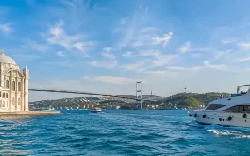
 Dinner, sunset and day cruises between Europe and Asia.See cruises bosporuscruise.com
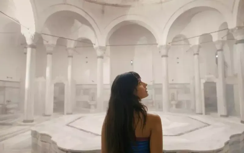
 Historic Turkish baths in the old city — hand-picked hamams, booked direct.Book a hamam istanbulhamam.com
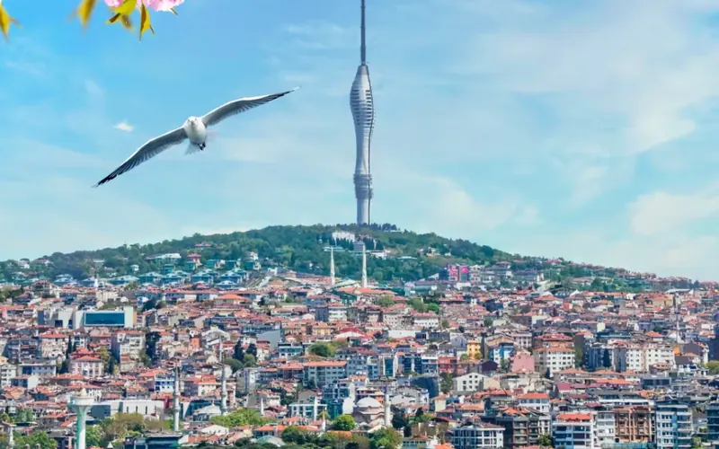
 Istanbul’s tallest viewpoint: both continents from 369 metres.Get tickets camlicatower.com
 Free audio guides in 15 languages, safe routes and local tips — plus 5% off GetYourGuide.Open the free guide localada.com
Nearby
All destinationsTunceli
Tunceli travel guide: Munzur Valley National Park, the sacred Munzur…
Kahramanmaraş
Kahramanmaraş travel guide: the restored castle and Ulu Mosque, Eshab-ı…
Aksaray
Aksaray is a city in the Central Anatolian region of…
Kars
Kars travel guide: the UNESCO ruins of Ani, Kars Castle,…