Nemrut Crater Lake: A Caldera Lake above Lake Van
On this page
- What is Nemrut Crater Lake?
- How do you get to Nemrut Crater Lake?
- When is the best time to visit Nemrut Crater Lake?
- What is the history of Nemrut Crater Lake?
- What is Nemrut Crater Lake famous for?
- What can you do at Nemrut Crater Lake?
- Common misconceptions about Nemrut Crater Lake
- Frequently asked questions about Nemrut Crater Lake
- What do the official records say about Nemrut Crater Lake?
Key facts: Nemrut Crater Lake
- What it is: A freshwater lake inside the caldera of Mount Nemrut, a dormant volcano; the Ministry of Culture and Tourism describes it as Türkiye’s largest crater lake.
- Where: Tatvan district, Bitlis province, about 13 km from Tatvan and 27 km from Bitlis.
- Size: About 4.9 × 2.1 km, with a maximum depth of around 176 m (source).
What is Nemrut Crater Lake?
Nemrut Crater Lake (Nemrut Gölü) fills the western half of the caldera of Mount Nemrut, a dormant volcano that rises above Tatvan at the western tip of Lake Van. The caldera is a near-circular basin about 7–8 km across, with walls that rise some 600 m above its floor; the lake is crescent-shaped, deep blue and fresh, while a much smaller lake beside it is fed by hot springs.
The provincial directorate calls it Türkiye’s largest crater lake and notes that many Turkish and foreign visitors come every summer (Bitlis Culture and Tourism Directorate). Inside the caldera there are birch groves, lava flows and fumaroles.
It is not the same as Mount Nemrut in Adıyaman, the mountain with the colossal stone heads of Commagene. The two are several hundred kilometres apart.
How do you get to Nemrut Crater Lake?
Drive. The usual route climbs from Tatvan via Çekmece village; the inventory also gives a second road from Ahlat via Serinbayır village. From Tatvan it is about 13 km to the mountain, and the road continues to the caldera rim and down to the lake shore. There is no public transport, so if you do not have a car, hire a taxi in Tatvan for the return trip and agree on the waiting time.
The road is unsurfaced or rough in places near the top. Snow covers the mountain for around five months a year (source), and the road into the caldera is generally passable only from late May or June until October.
Tours in Anatolia
−5% Istambul readers save 5% on every tour below — applied at checkout.
Partner listings via GetYourGuide · free cancellation on most
When is the best time to visit Nemrut Crater Lake?
June to early October. July and August are the warmest months and the easiest for walking down to the shore. Late September and early October bring autumn colour to the birch groves in the caldera. Even in summer, the caldera rim is well above 2,500 m and can be windy and cold, so bring a warm layer. The inventory records a Nemrut Crater Lake festival held in mid-July.
What is the history of Nemrut Crater Lake?
Nemrut is one of the volcanoes that shaped the Lake Van basin. A major eruption roughly 250,000 years ago sent a lava flow more than 60 km long across the valley to the southwest, blocking the basin’s outflow and creating Lake Van as a closed lake (source). The caldera formed when the summit collapsed after large eruptions.
The volcano has erupted within recorded history; sources disagree on the year of the last eruption, but place it in the 17th century. Since then only steam and gas emissions have been observed, and hot springs and fumaroles still feed the lakes on the caldera floor. Nemrut obsidian, a volcanic glass, was carried and traded across the Near East in prehistory.
What is Nemrut Crater Lake famous for?
- Size. The largest crater lake in Türkiye, according to the Ministry of Culture and Tourism.
- Two lakes, two temperatures. The large cold freshwater lake and the small hot-spring lake, Ilıgöl, which can reach about 60°C in summer.
- The view from the rim over the caldera on one side and Lake Van on the other.
- Volcanic landscape: lava flows, fumaroles and obsidian on the caldera floor.
What can you do at Nemrut Crater Lake?
Look out from the rim. The road crosses the caldera wall at a viewpoint where you can see the whole crater lake below, and in the other direction Lake Van and the town of Tatvan.
Walk along the shore. The road continues down to the lake, where there is space to picnic and walk. The water is cold and deep; swimming is at your own risk and there are no lifeguards.
Find the warm lake. Ilıgöl, separated from the main lake by an old lava flow, sits closer to the caldera’s fault and receives more hot-spring water. Its water is noticeably warmer than the main lake, though it partly freezes in winter.
Hike. The inventory lists Nemrut, with Mount Süphan across the lake, as the province’s main trekking area. Paths lead around the rim and onto the lava flows; carry water and go with someone who knows the area, as there are no waymarked trails.
Camp. Some visitors camp in the caldera in high summer. Nights are cold at this altitude.
Common misconceptions about Nemrut Crater Lake
Is this the Mount Nemrut with the giant statues?
What people often assume: That the Nemrut of Bitlis is the UNESCO site with the stone heads of Commagene.
What the record says: Those statues are on Mount Nemrut in Adıyaman province, a different mountain. The Bitlis Nemrut is a volcano above Tatvan, 2,935 m high according to the provincial directorate, with a crater lake (Bitlis Culture and Tourism Directorate).



Frequently asked questions about Nemrut Crater Lake
Can you drive to Nemrut Crater Lake?
Yes, in summer. A road climbs from Tatvan via Çekmece village to the caldera rim and down to the lake; parts of it are rough near the top.
When is the road to Nemrut Crater Lake open?
Usually from late May or June to October. Snow covers the mountain for around five months a year.
Can you swim in Nemrut Crater Lake?
People do swim in summer, but the main lake is cold and deep and there are no lifeguards. The small hot-spring lake, Ilıgöl, is warmer.
How far is Nemrut Crater Lake from Tatvan?
About 13 km to the mountain, according to the Ministry of Culture and Tourism. Allow 30–45 minutes each way by car, depending on the road.
Is Nemrut in Bitlis the same as Mount Nemrut in Adıyaman?
No. Adıyaman’s Mount Nemrut has the Commagene statues; the Bitlis Nemrut is a dormant volcano with a crater lake.
What do the official records say about Nemrut Crater Lake?
Mount Nemrut, located in the north of the province within the boundaries of Tatvan district and 2,935 m high, is a volcanic mountain. Every year, especially in the summer months, large numbers of foreign and Turkish tourists climb Mount Nemrut, a wonder of nature. Nemrut Lake, located within the crater of Mount Nemrut, holds the title of our country’s largest crater lake.
The mountain, 27 km from Bitlis and 13 km from Tatvan, can easily be climbed by car on the Tatvan–Çekmece village and Ahlat–Serinbayır village roads. (Ministry of Culture and Tourism, Bitlis Provincial Tourism Inventory, 2002)
Ready to see Nemrut Crater Lake?
Hand-picked tours with good reviews and clear prices.
Partner listings via GetYourGuide · free cancellation on most
Before or after: Istanbul
Most trips start or end in Istanbul. Our own experiences there:
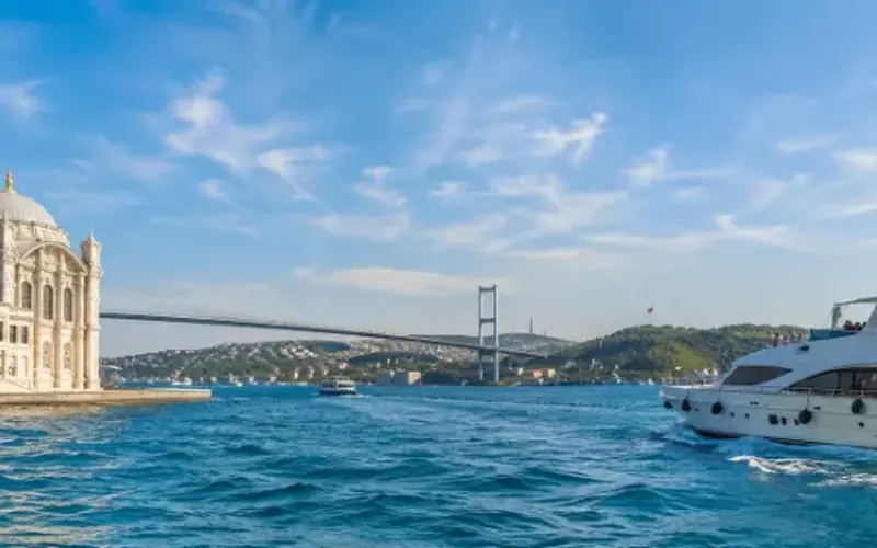
 Dinner, sunset and day cruises between Europe and Asia.See cruises bosporuscruise.com
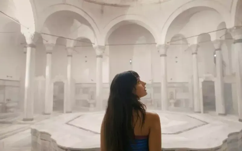
 Historic Turkish baths in the old city — hand-picked hamams, booked direct.Book a hamam istanbulhamam.com
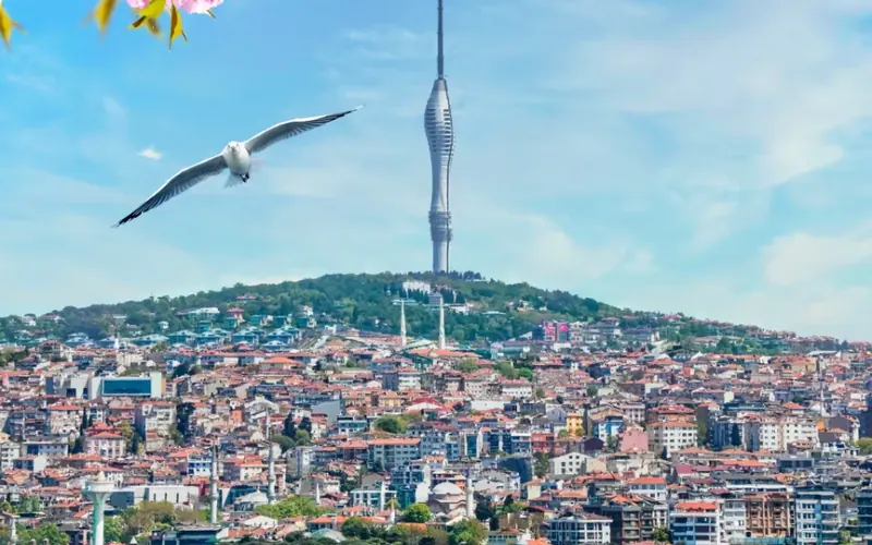
 Istanbul’s tallest viewpoint: both continents from 369 metres.Get tickets camlicatower.com
 Free audio guides in 15 languages, safe routes and local tips — plus 5% off GetYourGuide.Open the free guide localada.com
Nearby
All destinationsBitlis Castle
Bitlis Castle above the old Kalealtı bazaar, with the Ulu…
Ahlat Kümbets
The kümbets of Ahlat, Bitlis: Ulu Kümbet, Emir Bayındır, Çifte…
Ahlat Seljuk Cemetery
Ahlat Seljuk Cemetery in Bitlis: thousands of carved 12th–15th-century headstones…
Bitlis
Bitlis travel guide: Ahlat’s Seljuk tombstones and kümbets, the Nemrut…