Artvin: Çoruh Gorges, Georgian Churches and Mountain Lakes
On this page
- What is Artvin?
- How do you get to Artvin?
- Where should you stay in Artvin?
- What type of climate does Artvin have?
- When is the best time to visit Artvin?
- What is the history of Artvin?
- What is Artvin famous for?
- What are the historical places of Artvin?
- What are the best things to do in Artvin?
- What are the best places to visit in Artvin?
- What is the traditional food of Artvin?
- Frequently asked questions about Artvin
- What do the official records say about Artvin?
Key facts: Artvin
- UNESCO: The Camili (Macahel) basin in Borçka has been a biosphere reserve under UNESCO’s Man and the Biosphere programme since 2005. The province has no World Heritage or Tentative List sites.
- Region: Far northeast Türkiye, between Rize and the Georgian border at Sarp, with a short Black Sea coast at Hopa and Arhavi and the deep Çoruh valley inland.
- Best known for: Medieval Georgian churches of the Tao-Klarjeti region, the Karagöl lakes of Borçka and Şavşat, the southern Kaçkar around Yaylalar, and the Kafkasör bull-wrestling festival.
What is Artvin?
Artvin is the far northeastern province of Türkiye, between Rize and the Georgian border. Its capital, also called Artvin, is built on a steep hillside above the Çoruh river, and almost the whole province is mountain and gorge. Only a short strip, around Hopa and Arhavi, touches the Black Sea.
The 2002 provincial inventory sums up its attractions in one long sentence: the Çoruh river dividing the city in two, long steep-sided valleys, high mountains rising one behind the other to 3,900 metres, untouched natural forests, crater lakes and “black lakes” (karagöl) on the high summits, green plateaus, rich flora and fauna, historic churches, castles and arched bridges, traditional architecture and festivals make it, in its words, an authentic tourist destination.
Artvin is also a borderland with a long Georgian past. In the Middle Ages its valleys formed part of Tao-Klarjeti, a heartland of medieval Georgian Christianity, and the churches and monasteries they left, such as İşhan, Dörtkilise and Barhal, are among the most important medieval buildings in northeast Türkiye.
Places to visit in Artvin
Borçka Karagöl
Borçka Karagöl in Artvin: a landslide lake in dense forest below the…
Macahel
Macahel, the Camili basin in Borçka, Artvin: a UNESCO biosphere reserve since…
Karagöl–Sahara National Park
Karagöl–Sahara National Park near Şavşat, Artvin: the forest lake of Şavşat Karagöl…
İşhan Church
İşhan Church near Yusufeli, Artvin: a medieval Georgian monastery church with carved…
How do you get to Artvin?
By air: Rize–Artvin Airport (RZV), opened in 2022 on reclaimed land at Pazar, is about 75 km west of Artvin city. It has flights from Istanbul Airport and Sabiha Gökçen, Ankara and İzmir. Trabzon Airport is further west. For Yusufeli and the southern Kaçkar, Erzurum Airport is an alternative.
By road: The coastal highway passes Arhavi and Hopa on its way to the Georgian border at Sarp, the main crossing between the two countries. From Hopa a mountain road climbs over the Cankurtaran pass to Borçka and Artvin. The main road south follows the Çoruh towards Yusufeli and Erzurum, and another runs east through Şavşat to Ardahan. Coaches link Artvin and Hopa with Istanbul, Ankara, Trabzon and Erzurum.
Getting around: Minibuses connect Artvin with Hopa, Borçka, Şavşat, Ardanuç and Yusufeli, but the lakes, churches and plateaus are scattered up side valleys, often on narrow or unsurfaced roads. A car, or a local driver, makes a big difference.
Where should you stay in Artvin?
Artvin has no single base. Artvin city has hotels and is central for the Hatila valley, Kafkasör and the drive to Borçka. Şavşat suits the Karagöl–Sahara national park and the Georgian churches nearby. Guesthouses in Camili (Macahel) and near Borçka Karagöl are quiet places to spend a night in the forest.
For the southern Kaçkar, walkers stay in guesthouses in Barhal (Altıparmak), Yaylalar and Olgunlar. On the coast, Hopa and Arhavi are convenient for the airport and the Georgian border.
Book an Artvin tour
−5% Istambul readers save 5% on every tour below — applied at checkout.
Partner listings via GetYourGuide · free cancellation on most
What type of climate does Artvin have?
Artvin packs several climates into a small area. The coast at Hopa and Arhavi is mild and very wet, like Rize. The northern mountain slopes are cloudy and densely forested. In the deep Çoruh valley around Yusufeli it is noticeably drier and sunnier, and the inventory mentions rice fields and orchards along the river. The high plateaus and the Kaçkar have short summers and long, snowy winters. Artvin city itself has warm summers and cold winters.
When is the best time to visit Artvin?
June to September is the season for the plateaus, the Karagöl lakes and walking in the Kaçkar, with August and September the best months for high routes. Late June and early July bring the Kafkasör festival. October is the month for autumn colour, especially at Borçka Karagöl and in Macahel, but the weather turns quickly. From November to April many high roads, including those to Şavşat Karagöl and the Kaçkar villages, can be closed by snow.
What is the history of Artvin?
Finds from the province go back to the Bronze Age, and in antiquity the region lay between Colchis on the coast and the Armenian highlands inland. In the early Middle Ages the valleys of the Çoruh and its tributaries became part of Tao-Klarjeti, a group of Georgian principalities ruled by the Bagratid dynasty, and one of the great religious centres of medieval Georgia.
The inventory dates many monuments to this period. Artvin Castle (Livane) was built by the Bagratid kingdom in the mid-10th century, Şavşat (Satel) Castle in the 9th. The Hamamlı church was built between 923 and 958, the Cevizli church in 899–914 by Ashot Kukh, a Bagratid lord buried beside it, and İşhan church dates in its present form from the early 11th century.
The Seljuk Turks took the region in 1064, and control passed between Georgian and Turkish rulers for centuries. The Ottomans secured it in 1551, after the fall of the castle of Ardanuç; the inventory notes the castle’s inscription of Sultan Süleyman the Magnificent. After the Russo-Turkish war of 1877–78 the region passed to Russia, and it returned to Türkiye under the Treaty of Kars in 1921.
In the last two decades the Çoruh has been transformed by a chain of dams. The Deriner Dam lies close to Artvin city, and the reservoir of the Yusufeli Dam, which began filling in 2022–2023, submerged the old town of Yusufeli and seven villages.
What is Artvin famous for?
Georgian churches. İşhan, Dörtkilise, Barhal, Hamamlı, Cevizli and Porta are among the finest medieval Georgian buildings outside Georgia.
Lakes and forests. Borçka Karagöl and Şavşat Karagöl, two landslide and mountain lakes in dense forest, are the province’s best-known beauty spots.
Macahel. The Camili basin on the Georgian border, a UNESCO biosphere reserve since 2005, known for its pure Caucasian honeybee population and wooden mosques.
Bull wrestling. The Kafkasör festival on the plateau above Artvin city, whose 45th edition took place in 2026, is the largest of the region’s bull-wrestling events. Bulls push against each other head to head until one turns away; in 2026, 157 bulls competed in eight categories after being checked for horn treatment and doping.
Birds of prey. The Eastern Black Sea Mountains, which run through Artvin, are an Important Bird Area. The inventory lists bearded, griffon and black vultures and golden eagles, and notes that the whole Turkish population of the Caucasian black grouse lives within the area.
What are the historical places of Artvin?
İşhan Church. 11 km east of Yusufeli in the village of İşhan (Dağyolu). The inventory dates the church to 1008, converted to a mosque by the Ottomans in 1549, and notes the carved inscriptions and a relief of a dragon fighting a lion among the window decoration.
Dörtkilise Monastery. Near the village of Tekkale, west of Yusufeli. Built by the Bagratid kingdom at the end of the 9th century, it consists of a church, refectory, seminary room and chapel; the inventory says it reflects the medieval monastery layout of the region better than any other site, and that its church resembles Barhal’s in plan.
Barhal (Altıparmak) Church. In the village of Altıparmak (Barhal), on the road to the southern Kaçkar. A three-aisled basilica built in the 10th century by the Bagratid kingdom and dedicated to St John the Baptist, it was turned into a mosque at the end of the 17th century and is still used as one. The inventory praises its fine stonework and monumental scale.
Hamamlı Church. In the village of Hamamlı, 32 km from Artvin, built in 923–958. Its carved doorway survives, and the inventory notes its sundial.
Cevizli Church. 6 km northeast of Şavşat in Cevizli village, built in 899–914 by Ashot Kukh, whose tomb lies beside it. The cross-plan church covers 900 m², with columns and reliefs on its outer walls and a relief of Christ above the north windows. The inventory interprets the ram’s-head reliefs and statues as a sign of Bagratid sympathy for the Oğuz Turks, for whom the ram was sacred.
Pınarlı (Porta) Monastery. In the hamlet of Bağlık near Pınarlı village, with no road access. The church, bell tower, chapel-fountain and other buildings, which the inventory dates to the Bagratid kingdom, form what it calls the best surviving example of a medieval monastery settlement in the area.
Castles. Artvin Castle (Livane) stands on bedrock 70 metres above the Çoruh, opposite the Artvin bridge at the turn-off for the city, with a tall tower. Ardanuç (Gevhernik) Castle, in the Adakale area of Ardanuç, was the seat of the Bagratids, the Atabegs of Çıldır and the Ottomans; with its inner citadel and walled town it is, in the inventory’s words, unique in the region. Şavşat (Satel) Castle, in Söğütlü quarter, is abandoned, but most of its walls still stand.
Ottoman bridges and fountains. The inventory lists the Çelebi Efendi Fountain in Artvin’s Orta quarter, built in 1783 by Çelebi Efendi, steward of Asma Sultan, the three-arched Berta Bridge of 1878, and the paired single-arched Ortacalar bridges near Arhavi. Some river-level sites along the Çoruh have since been affected by dam reservoirs, so ask locally before making a special trip.
What are the best things to do in Artvin?
Walk in the southern Kaçkar. From Barhal and Yaylalar, routes climb to Olgunlar and the main camp at Dilberdüzü below Kaçkar summit, and across to the Altıparmak peaks. The inventory notes that the Yaylalar area is the starting point for climbs from the south, warns that going beyond Dilberdüzü without a guide is dangerous, and lists lynx, bear, wild goat, wolf, jackal and fox among the animals that can be seen. See Kaçkar Mountains National Park.
Go to Kafkasör. The plateau, about 10 km southwest of the city, sits at around 1,200 metres in meadows and forest. Outside the festival it is a quiet place for a walk, and the inventory mentions its springs, Cıskaro, Yalnızhasan and Acısu, said to have healing properties.
Explore Hatila Valley National Park. Just 10 km from Artvin city, this steep, V-shaped valley of the Hatila stream was protected in 1994. It is full of waterfalls and dense forest, and a botanical survey recorded 769 plant species.
Visit the plateaus. The inventory singles out Mersivan, on the slopes of Mount Genya above the city; Sahara, between Şavşat and Ardahan, with wide pastures and cold springs; Babilan, 51 km east of Ardanuç, where a weekly Saturday market and livestock fair were held; and the Arsiyan plateaus along the Georgian border.
Watch birds of prey. The inventory describes the Eastern Black Sea Mountains as forest, mountain and a migration corridor; vultures nest on the cliffs of the Çoruh valley, and migrating raptors follow the mountain valleys.
Join a summer festival. The inventory’s calendar includes bull wrestling in April and May in villages such as Sarıgöl, Altıparmak and Murgul, the Hopa and Arhavi festivals in July, and the Macahel Caucasian bee and honey festival in Borçka in August.
What are the best places to visit in Artvin?
Borçka Karagöl. A landslide-dammed lake at about 1,450 metres in thick forest, 25 km from Borçka, protected as a nature park since 2002.
Macahel (Camili Basin). A valley of wooden villages on the Georgian border, a UNESCO biosphere reserve since 2005, with old wooden mosques and the Maral waterfall.
Karagöl–Sahara National Park. Two separate areas near Şavşat: the forest lake of Şavşat Karagöl and the high pastures of the Sahara plateau.
İşhan Church. The best-known of Artvin’s Georgian churches, restored in 2013–2016, above the Çoruh valley near Yusufeli.
Also worth your time: Hatila Valley National Park and Kafkasör near the city, Dörtkilise and Barhal churches on the way to the Kaçkar, Ardanuç Castle, and Yaylalar and Olgunlar at the foot of the Kaçkar.
What is the traditional food of Artvin?
On the coast, Artvin’s food is close to that of Rize: hamsi in winter, corn bread, kara lahana soups and muhlama or kuymak made with butter and local cheese. Inland, the cooking of Şavşat and Ardanuç looks towards the highlands, with more dairy, meat and grain dishes. The province is also known for its honey, above all from the Caucasian honeybees of Macahel, celebrated at the honey festival in Borçka.



Frequently asked questions about Artvin
What is the nearest airport to Artvin?
Rize–Artvin Airport (RZV) at Pazar, about 75 km west of Artvin city, with flights from Istanbul, Ankara and İzmir. From Hopa, Batumi airport in Georgia is also within reach across the Sarp border crossing.
Is Artvin worth visiting?
Yes, for nature and medieval architecture: forested gorges, lakes such as Borçka and Şavşat Karagöl, the Macahel biosphere reserve, the southern Kaçkar and Georgian churches like İşhan and Dörtkilise.
Was Yusufeli flooded by a dam?
Yes. The reservoir of the Yusufeli Dam began filling in 2022–2023 and submerged the old town of Yusufeli and several villages; residents were moved to a new town nearby. Check routes to Barhal and Yaylalar before travelling.
Can you still go rafting on the Çoruh?
Much of the Çoruh in Artvin is now a chain of dam reservoirs, and the classic runs described in older guides have largely gone. The Yusufeli canoe and rafting team now trains mainly on still water.
When is the Kafkasör festival?
Usually in late June or early July on the Kafkasör plateau above Artvin city. In 2026 the 45th festival ended on 12 July, with 157 bulls competing in eight categories.
When is the best time to visit Artvin?
June to September for the plateaus, lakes and the Kaçkar; October for autumn colour around the Karagöl lakes. Many high roads close in winter.
What do the official records say about Artvin?
With the Çoruh river that divides the city in two, its long steep-sided valleys, its high mountains ranged one behind another and rising to 3,900 metres, its untouched natural forests, the crater lakes and black lakes on the summits of the high mountains, its green plateaus, the richness of its fauna and flora, its historic churches, castles and arched bridges, its traditional architecture and its festivals, Artvin is an authentic tourist destination that holds a variety of tourism values within it.
The Çoruh river, which rises in the Mescit Mountains at 3,225 metres and flows into the Black Sea within the borders of Georgia after a total course of 466 kilometres, is at the same time one of the fastest-flowing rivers in the world. On some rocky cliffs near the river, the endangered griffon vulture lives in colonies. (Ministry of Culture and Tourism, Artvin Provincial Tourism Inventory, 2002)
Ready to see Artvin?
Hand-picked tours with good reviews and clear prices.
Partner listings via GetYourGuide · free cancellation on most
Before or after: Istanbul
Most trips start or end in Istanbul. Our own experiences there:
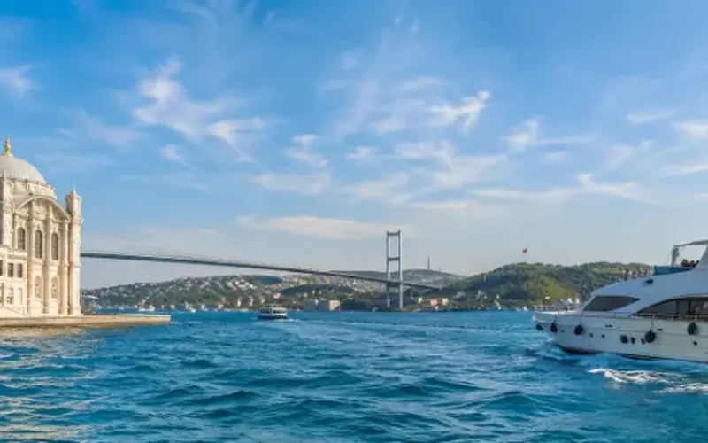
 Dinner, sunset and day cruises between Europe and Asia.See cruises bosporuscruise.com
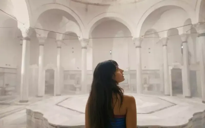
 Historic Turkish baths in the old city — hand-picked hamams, booked direct.Book a hamam istanbulhamam.com
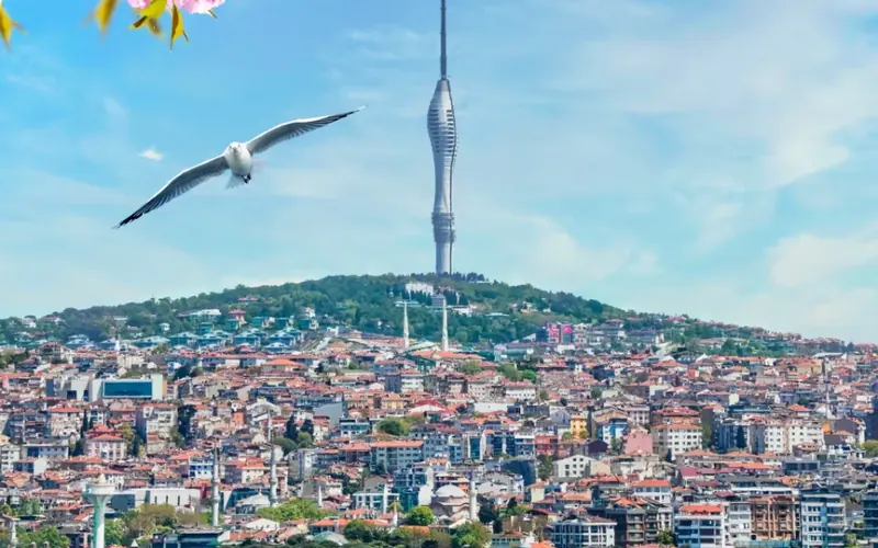
 Istanbul’s tallest viewpoint: both continents from 369 metres.Get tickets camlicatower.com
 Free audio guides in 15 languages, safe routes and local tips — plus 5% off GetYourGuide.Open the free guide localada.com