Kerkenes: The Iron Age City of Pteria
On this page
Key facts: Kerkenes
- What it is: The ruins of a vast planned Iron Age city, generally identified with Pteria, with a Byzantine castle on its summit.
- Where: Kerkenes Dağ, near Şahmuratlı village, Sorgun district, Yozgat, between Yozgat and Sorgun; about 200 km east of Ankara.
- Period: Iron Age; burned and abandoned, most likely when Croesus of Lydia took Pteria around 547 BC.
What is Kerkenes?
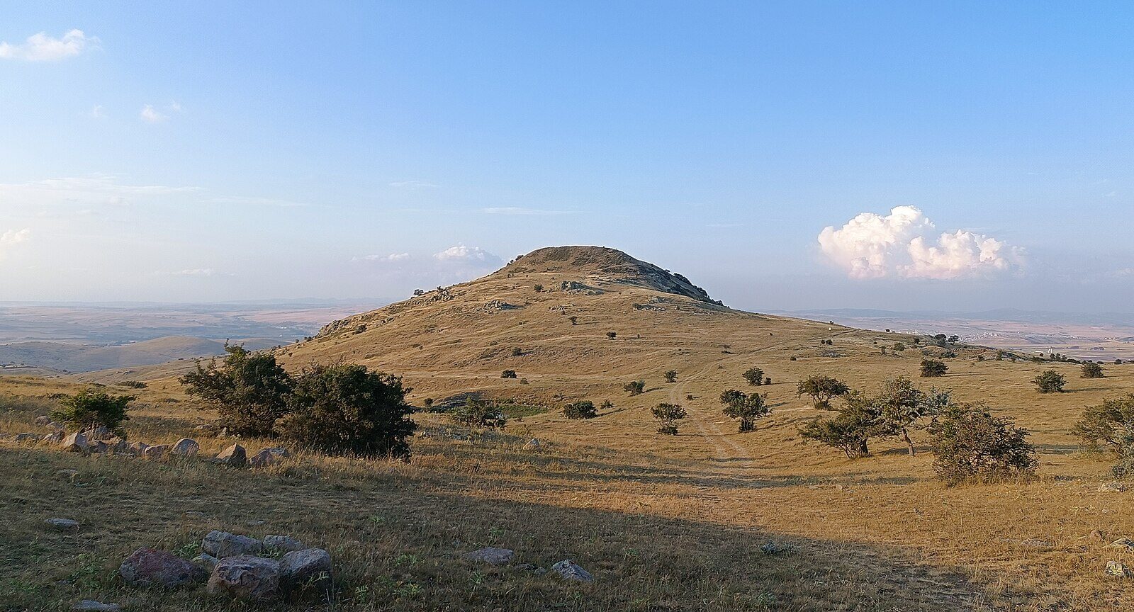
Kerkenes is an ancient city on Kerkenes Dağ, a mountain between Yozgat and Sorgun. Its stone defences run for about 7 km and enclose some 2.5 km², which makes it the largest pre-Hellenistic site on the Anatolian plateau. Seven gates pierce the walls.
The city seems to have been planned and built in one effort, occupied briefly and then burned, destroyed and abandoned. Most scholars now identify it with Pteria, the city that, according to Herodotus, the Lydian king Croesus captured around 547 BC on his campaign against the Persians. Phrygian remains have been found, including an inscription in Old Phrygian. Much later, a Byzantine castle was built within the site.
Because the Iron Age city was not rebuilt after its destruction, Kerkenes preserves the layout of a single short-lived foundation rather than the layered mound typical of Anatolian sites.
How do you get to Kerkenes?
Kerkenes lies east of Yozgat city, between Yozgat and Sorgun, about 200 km east of Ankara. The 2002 inventory places the ruins 5 km from Şahmuratlı village in Sorgun district. Drive from Yozgat towards Sorgun and on to Şahmuratlı. There is no public transport to the site, so you need a car or a taxi from Yozgat or Sorgun. Sorgun is on the Ankara–Sivas high-speed railway.
Tours in Anatolia
−5% Istambul readers save 5% on every tour below — applied at checkout.
Partner listings via GetYourGuide · free cancellation on most
When is the best time to visit Kerkenes?
May to October. The mountain is exposed and windy, with almost no shade, so in summer go in the morning or late afternoon. In winter the access road can be blocked by snow.
What is the history of Kerkenes?
J. G. C. Anderson examined the site in 1903. In 1926–27 H. H. von der Osten and F. H. Blackburn surveyed it, Emil Forrer visited in 1926, and in 1929 Erich Schmidt excavated for about a week for the Oriental Institute of Chicago.
Modern work began with the Kerkenes Project, run from 1993 to 2012 by Geoffrey and Françoise Summers of the Middle East Technical University in Ankara. Geoffrey Summers first proposed that Kerkenes was Pteria, and he still holds that view; the older idea that it was a Median city has been rejected. Fieldwork now continues under Scott Branting of the University of Central Florida.
Kerkenes has also been suggested as a Bronze Age Hittite site, and the Hittite city of Kuşaklı Höyük, possibly ancient Zippalanda, lies about 8 km away. The 2002 inventory followed this older view and described the castle as Hittite (see the misconception below).
What is Kerkenes famous for?
- Its size: about 7 km of walls and 2.5 km² inside, the largest pre-Hellenistic site on the Anatolian plateau.
- The Pteria question: the city Croesus took on the eve of his war with Cyrus of Persia.
- A frozen city plan. Burned and abandoned after a short life, it preserves a single moment of Iron Age urban planning.
What can you see at Kerkenes?
The city walls and gates. The line of the defences, with its stone rubble, can be followed across the mountain. The 2002 inventory notes a gap of about 4 m in the western wall that may have been a gate.
Sülüklü Göl. In the middle of the gently sloping site the inventory describes a pool about 20 m across, known as Sülüklü Göl (“Leech Pond”).
The Byzantine castle. A later fortification within the site; the inventory notes that its walls still stand, with a martyrs’ cemetery to the south and the foundations of houses around it.
The landscape. The mountain rises above open steppe between Yozgat and Sorgun; on a clear day the setting alone justifies the drive.
Finds in Yozgat. Finds from excavations across the province are displayed in the archaeology halls of the Yozgat Museum in the Nizamoğlu Mansion.
Common misconceptions about Kerkenes
Is Kerkenes a Hittite city?
What people often assume: Older guidebooks, including the 2002 provincial inventory, describe the Kerkenes castle as Hittite.
What the record says: The city on Kerkenes Dağ is an Iron Age foundation, with Phrygian remains and an Old Phrygian inscription, and it was destroyed around 547 BC, long after the Hittite empire fell. The nearby Hittite city is Kuşaklı Höyük, about 8 km away (Kerkenes, Wikipedia).



Frequently asked questions about Kerkenes
Is Kerkenes Pteria?
Most scholars, following the excavator Geoffrey Summers, identify Kerkenes with Pteria, the city captured by the Lydian king Croesus around 547 BC according to Herodotus.
How big is Kerkenes?
Its stone defences run for about 7 km with seven gates and enclose some 2.5 km², the largest pre-Hellenistic site on the Anatolian plateau.
Where is Kerkenes?
On Kerkenes Dağ near Şahmuratlı village in Sorgun district, between Yozgat and Sorgun, about 200 km east of Ankara.
Can you visit Kerkenes without a guide?
Yes, but there is no public transport and little shade, so go by car with water and good shoes.
Who excavates Kerkenes?
The Kerkenes Project was directed by Geoffrey and Françoise Summers of METU from 1993 to 2012; fieldwork now continues under Scott Branting of the University of Central Florida.
What do the official records say about Kerkenes?
The Kerkenes Ruins, 5 km from Şahmuratlı village, cover a very large area. The rubble of the ruins surrounding them is still in place. On the gently sloping ground, right in the middle, at the place called Sülüklü Göl, there is a pool of water about 20 metres across. The remains of the walls surrounding the area leave a gap of about 4 metres on the west, which is thought to have been the city gate.
The area of the ruins is covered with rocky ground and, in places, flat land. South of the castle, whose walls still stand, there is a martyrs’ cemetery. Around the castle there are also foundations of houses thought to have been used as shelters, and potsherds are found in the surroundings. (Ministry of Culture and Tourism, Yozgat Provincial Tourism Inventory, 2002)
Ready to see Kerkenes?
Hand-picked tours with good reviews and clear prices.
Partner listings via GetYourGuide · free cancellation on most
Before or after: Istanbul
Most trips start or end in Istanbul. Our own experiences there:
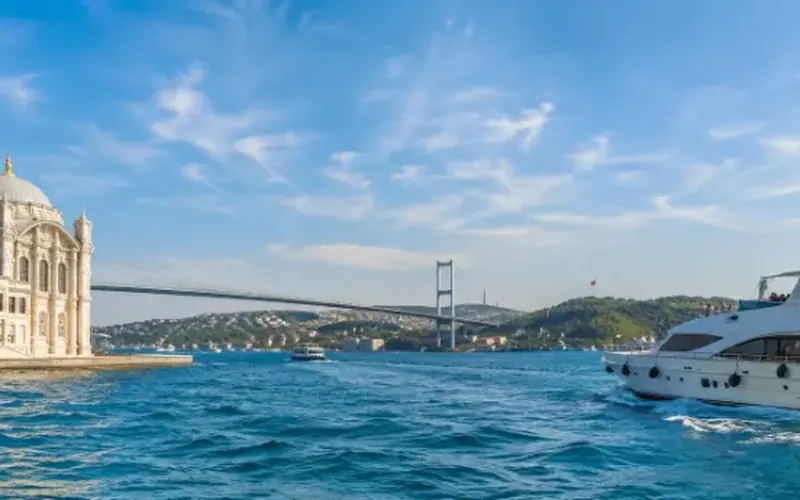
 Dinner, sunset and day cruises between Europe and Asia.See cruises bosporuscruise.com
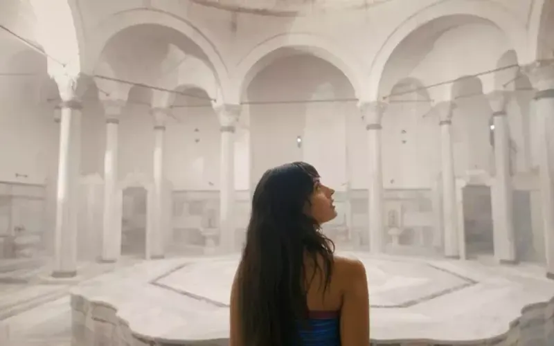
 Historic Turkish baths in the old city — hand-picked hamams, booked direct.Book a hamam istanbulhamam.com
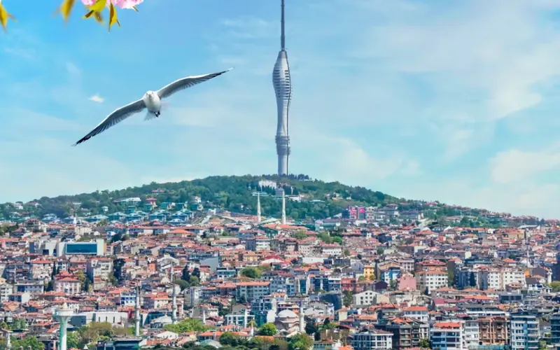
 Istanbul’s tallest viewpoint: both continents from 369 metres.Get tickets camlicatower.com
 Free audio guides in 15 languages, safe routes and local tips — plus 5% off GetYourGuide.Open the free guide localada.com
Nearby
All destinationsSarıkaya Roman Bath
Sarıkaya Roman Bath (Basilica Therma) in Yozgat: a 2nd-century Roman…
Yozgat Çamlık National Park
Yozgat Çamlık National Park, declared in 1958 as Türkiye’s first:…
Çapanoğlu Mosque
Çapanoğlu Mosque in Yozgat: built in 1779 and 1795 by…
Yozgat
Yozgat travel guide: Türkiye’s first national park, the Iron Age…