Bektaş Plateau: Giresun’s Highland Above the Trees
On this page
- What is Bektaş Plateau?
- How do you get to Bektaş Plateau?
- When is the best time to visit Bektaş Plateau?
- What is the history of Bektaş Plateau?
- What is Bektaş Plateau famous for?
- What can you do at Bektaş Plateau?
- Frequently asked questions about Bektaş Plateau
- What do the official records say about Bektaş Plateau?
Key facts: Bektaş Plateau
- What it is: A high summer pasture above the tree line and an officially declared tourism centre (1990).
- Where: Bulancak area south of Giresun city, about 55–60 km by road, at around 2,000 m.
- Nearby: Kulakkaya and Melikli Obası yaylas, the Alçakbel forest picnic area, and the rock formations of Gelinkaya and Despot Kayası.
What is Bektaş Plateau?
Bektaş Yaylası is the high, open counterpart to Kümbet. At around 2,000 m it lies above the tree line, so instead of spruce forest you get rolling grassland, wide skies and snow patches that hang on into early summer. It sits in the mountains south of Giresun, in the hinterland of Bulancak, and it was declared a tourism centre by the Turkish government in 1990.
The 2002 inventory treats Bektaş as one piece with its neighbours: Kulakkaya Yaylası, long Giresun’s best-known yayla, the meadows of Melikli Obası, the Kurttepe slopes and the Alçakbel forest picnic area. Together they make a good two- or three-day base for walking in summer.
What sets Bektaş apart is the sense of space. Lower down, the eastern Black Sea mountains are wrapped in dense forest; at Bektaş the trees give way to open grass, and on a clear day you can see ridge after ridge running east towards Trabzon and, to the north, the line of the coast. In early summer the slopes are patched with snow and the first flowers of the season.
How do you get to Bektaş Plateau?
The main route from Giresun runs south via Evrenköy, Erimez and Yavuzkemal, about 56 km according to the inventory; there are several other approaches. On the way up you pass Kulakkaya, about 45 km from the city at 1,500 m, and the rock formations of Despot Kayası and Gelinkaya. The upper road was once dirt; most of it is now surfaced, but drive with care and check conditions early or late in the season.
There is little public transport outside midsummer, so a car is the practical option. Ordu-Giresun Airport is about 25 km west of Giresun city.
Tours in Anatolia
−5% Istambul readers save 5% on every tour below — applied at checkout.
Partner listings via GetYourGuide · free cancellation on most
When is the best time to visit Bektaş Plateau?
July and August, when the snow has gone, the pastures are green and the Bektaş highland festival is held (the inventory lists it in August). June can still have snow on the higher ground. From October the weather turns quickly, and in winter the area is under deep snow; the inventory notes that Kurttepe was suitable for skiing.
What is the history of Bektaş Plateau?
Like all the region’s yaylas, Bektaş was a summer pasture for families from the villages below. Its tourism history began on 5 March 1990, when a decree of the Council of Ministers declared the Bulancak Bektaş Yaylası a Tourism Centre, with plans for around 400 beds. The 2002 inventory records electricity, water and telephone lines, a two-star hotel, and three mountain houses with a playground and restaurant in the Alçakbel forest recreation area.
Kulakkaya, on the way up, is older as a destination. The inventory calls it the most visited yayla in Giresun from early times.
What is Bektaş Plateau famous for?
- Altitude. At around 2,000 m it is one of the highest easily reached yaylas in the province, above the tree line.
- Gelinkaya and Despot Kayası, rock formations on the approach road that the inventory calls natural wonders.
- Snow. Patches of snow last into early summer, and Kurttepe has been used for skiing in winter and grass-skiing in summer.
- The Bektaş highland festival in summer.
What can you do at Bektaş Plateau?
Walk the pastures. Open grassland makes for easy walking in every direction, with views north towards the sea on clear days.
Visit Kulakkaya and Melikli Obası. Kulakkaya, at 1,500 m, has the Despot rock and spring and the Erimez area nearby. Melikli Obası, close to Kulakkaya, is ringed by spruce forest, with lawns full of rhododendron and wild azalea; Yavuzkemal, 2 km away, has shops.
Picnic at Alçakbel. The forest recreation area on the way up has picnic tables and mountain houses.
Stop at the rocks. Gelinkaya, the “bride rock”, and Despot Kayası are on the road up.
Stay the night. There is a hotel on the yayla and simpler lodgings in the surrounding pastures; nights are cold even in August.
Combine with Kümbet. Bektaş and Kümbet are on separate roads from the coast, but both can be visited in two days from Giresun: one day on the Bulancak side for Kulakkaya and Bektaş, another up the Aksu valley via Dereli to Kümbet and Aymaç.
What to bring. Warm layers, rain gear and sun protection: at 2,000 m the sun is strong when it shines, but fog and rain can arrive within the hour. Shops are limited on the yayla itself, so stock up in Giresun or Yavuzkemal.



Frequently asked questions about Bektaş Plateau
How high is Bektaş Plateau?
About 2,000 m, above the tree line. Kulakkaya, on the way up, is at around 1,500 m.
How far is Bektaş from Giresun?
About 55–60 km south of the city, via Evrenköy, Erimez and Yavuzkemal.
When is the best time to visit Bektaş?
July and August. Snow can linger into June, and the area is snowbound in winter.
What is the difference between Bektaş and Kümbet?
Kümbet, at 1,640 m, is a forested yayla with more facilities; Bektaş is higher, above the tree line, and more open and wild.
What do the official records say about Bektaş Plateau?
Bektaş is 59 km south of Giresun and is reached by a dirt road. The yayla, at a height of 2,000 m, is above the tree line. Despot Rock and Bride Rock (Gelin Kayası) on the road are each natural wonders.
Kulakkaya, about 45 km from Giresun at an altitude of 1,500 m and with interesting natural beauty, is the yayla of Giresun that has been best known and most visited since early times. Despot Rock and its spring on the road, the Erimez area with its natural beauty, and Bride Rock are each a separate focus of interest. Melikli Obası, right next to Kulakkaya, has a lovely landscape of lawns surrounded by spruce forests and adorned with rhododendrons and wild azaleas. (Ministry of Culture and Tourism, Giresun Provincial Tourism Inventory, 2002)
Ready to see Bektaş Plateau?
Hand-picked tours with good reviews and clear prices.
Partner listings via GetYourGuide · free cancellation on most
Before or after: Istanbul
Most trips start or end in Istanbul. Our own experiences there:
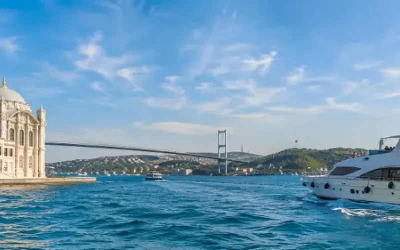
 Dinner, sunset and day cruises between Europe and Asia.See cruises bosporuscruise.com
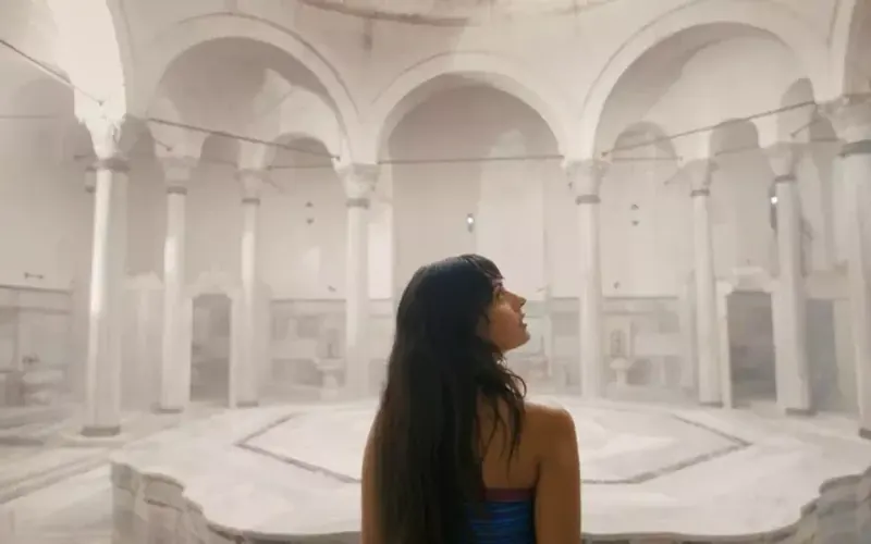
 Historic Turkish baths in the old city — hand-picked hamams, booked direct.Book a hamam istanbulhamam.com
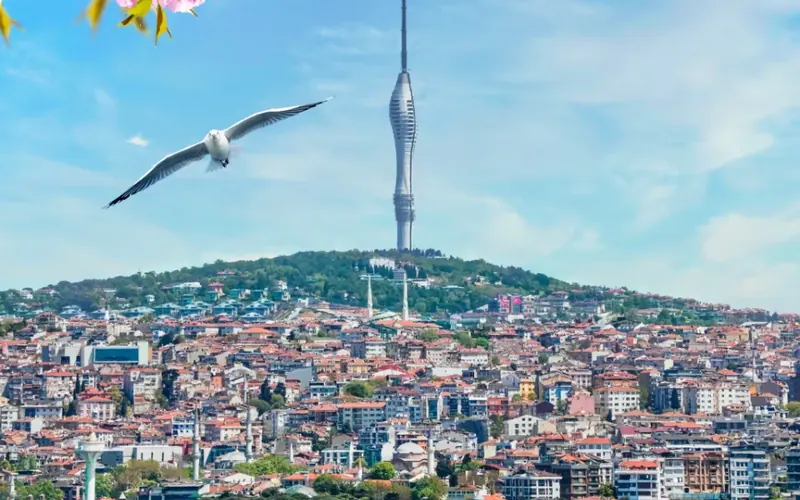
 Istanbul’s tallest viewpoint: both continents from 369 metres.Get tickets camlicatower.com
 Free audio guides in 15 languages, safe routes and local tips — plus 5% off GetYourGuide.Open the free guide localada.com
Nearby
All destinations
Giresun Island
Giresun Island, the Aretias of the Argonauts: temple and monastery…
Kümbet Plateau
Kümbet Yaylası in Giresun: a 1,640 m summer pasture with…
Giresun Castle
Giresun Castle, attributed to Pharnaces I of Pontus: walls, rock-cut…
Şebinkarahisar Castle
Şebinkarahisar Castle, Pompey’s Koloneia on a black rock in inland…